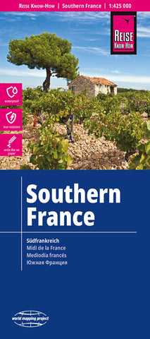
Southern France Road Map
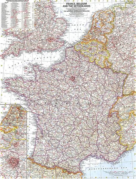
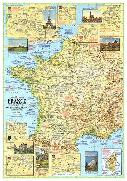
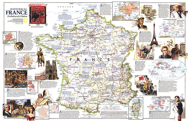
Folded, indexed, road map of southern France, showing all major and many minor roads, cities and towns, at a scale of 1:425,000 (1 to 7 miles). Map shows national parks, mountains, viewpoints, places of interest, rivers, beaches, castles, churches, railways, and lakes. Legend is in German and English.
- Product Number: RKH_F_S_23
- Reference Product Number: - None -
- ISBN: 9783831774456
- Date of Publication: 2/1/2023
- Folded Size: 10.24 inches high by 4.72 inches wide
- Unfolded (flat) Size: 27.56 inches high by 39.37 inches wide
- Map format: Folded
- Map type: Trade Maps - Road
- Geographical region: France

