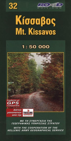
Mt. Kissavos Hiking Map
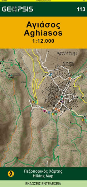
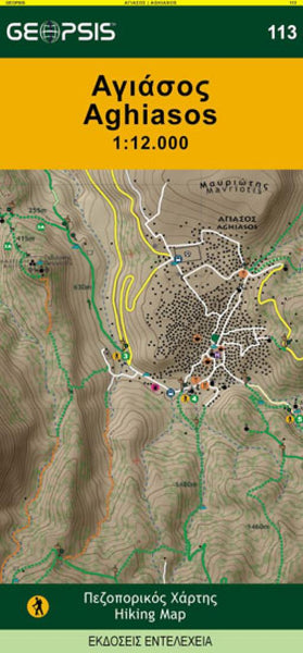
This map of Mount Kissavos shows the entire road network with unique accuracy, all major footpaths and forest roads, detailed descriptions of hiking routes, contour lines at 100m height intervals with colored shading, giving an overview of the terrain. Also, information such as national parks, gorges, peaks, caves, beaches, springs etc. Distances of roads shown.
Legend in Greek, English, German & Spanish.
- Product Number: RE_KISSAVOS_0
- Reference Product Number: 2033608M
- ISBN: 9789608189010
- Date of Publication: 6/1/2000
- Folded Size: 9.84 inches high by 5.12 inches wide
- Unfolded (flat) Size: 26.77 inches high by 19.69 inches wide
- Map format: Folded
- Map type: Trade Maps - Travel
- Geographical region: Greece

