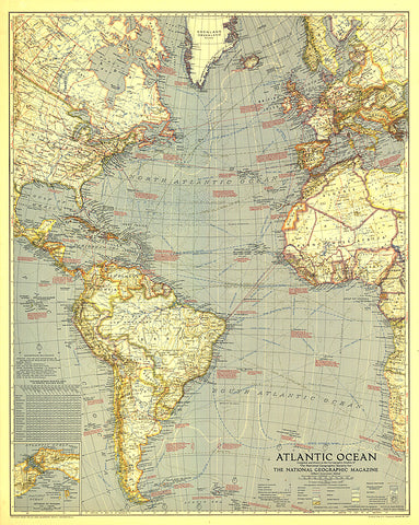
1939 Atlantic Ocean Map
An ambitious work for its time, this beautiful map of the Atlantic Ocean was published in July 1939 when ocean bathymetry was in its infancy. Loaded with a variety of geographical and historical information this map is a splendid addition to any map collection.
- Product Number: PODHNG_ATL_O_39
- Reference Product Number: 2321595M
- ISBN: - None -
- Date of Publication: 6/1/1939
- Unfolded (flat) Size: 31 inches high by 24.75 inches wide
- Map format: Wall
- Map type: Trade Maps - Wall Art


