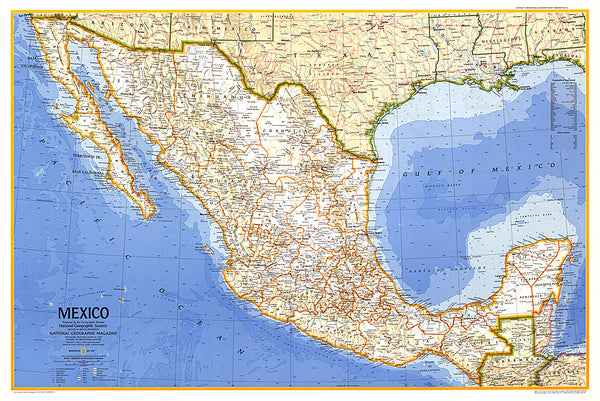
Mexico : political map
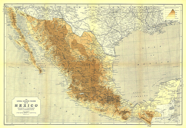
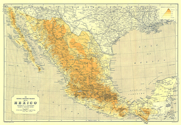
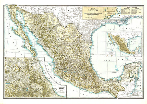
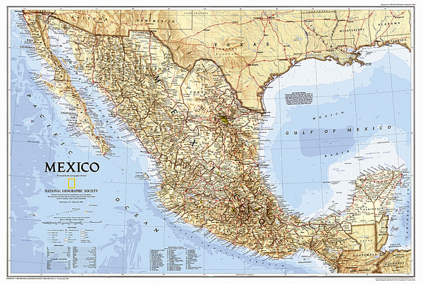
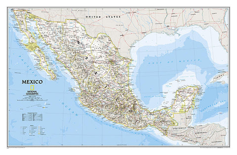
National Geographic’s wall map of Mexico is one of the largest and most detailed maps of the country. The signature Classic style design uses a bright, easy-to-read color palette. This map features thousands of place names, accurate political boundaries, national parks including Cumbres de Monterrey National Park, biosphere reserves including El Vizcaino Biosphere Reserve, archeological sites including the ruins of the Yucatan Peninsula, and major infrastructure networks such as roads, canals, ferry routes, and railroads. Mexicos diverse terrain is detailed through accurate shaded relief, coastal bathymetry, and symbolism for water features and other land forms. Elevations of major peaks are expressed in both feet and meters, and depth soundings are expressed in fathoms.
The map is packaged in a 2-diameter clear plastic tube. The tube has a decorative label showing a thumbnail of the map with dimensions and other pertinent information.
- Product Number: NG_MEX_WA_11
- Reference Product Number: 2030863M
- ISBN: 9780792249795
- Date of Publication: 6/1/2011
- Unfolded (flat) Size: 31.1 inches high by 20.87 inches wide
- Map format: Wall
- Map type: Trade Maps - Political
- Geographical region: Mexico