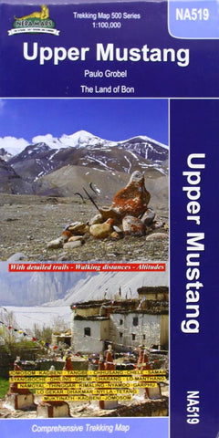
Upper & Lower Mustang : Nepal Trekking Map NA518
This map covers Jomosom, Kageni, Tangbe, Chhusang, Chele, Samar, Ghiling, Charang, Thinggar, Garphu, Dhakmar, Tetang, and Kagbeni. This is a true topographic and hiking map with contour lines, trekking trails, symbols showing overnight huts, and much more.
- Product Number: NEP_MUSTANG_U_L_23
- Reference Product Number: - None -
- ISBN: 9789937783118
- Date of Publication: 6/1/2023
- Folded Size: 9.45 inches high by 4.72 inches wide
- Unfolded (flat) Size: 22.44 inches high by 34.45 inches wide
- Map format: Folded
- Map type: Trade Maps - Hiking
- Geographical region: Nepal

