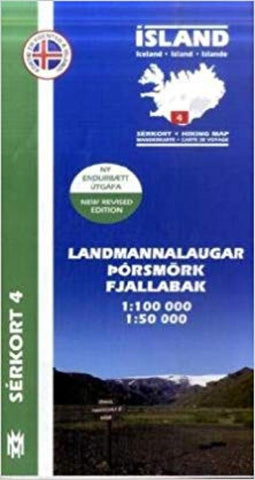
Landmannalaugar, Porsmörk, and Fjallabak hiking map
This map uses color shading and contour lines to show elevation. The maps show the most recent information on the countrys road network, campsites, swimming pools, museums and other useful tourist sites and services. The reverse has text and photographs of tourist sites. Multilingual: English/Icelandic/German/French.
- Product Number: MOM_4_LPF_22
- Reference Product Number: - None -
- ISBN: 9789979330356
- Date of Publication: 6/1/2022
- Folded Size: 9.06 inches high by 5.12 inches wide
- Unfolded (flat) Size: 38.98 inches high by 27.17 inches wide
- Map format: Folded
- Map type: Trade Maps - Hiking
- Geographical region: Iceland

