Lagos, Nigeria City Map
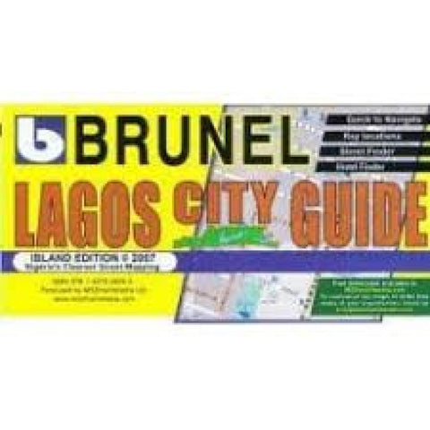
This map covers Lagos Island, Ikoyi, Victoria Island and Lekki. It is a detailed street map which includes symbols showing locations of hotels/guesthouses, restaurants, fire stations, police, embassies, schools, banks, gas stations, government offices, and many more. Numerous named shops are also shown. A street index is along the bottom of the map. The map has a 1 x 1 km alphanumeric grid but lacks latitude/longitude information. In English.
- Product Number: MDZ_LAGOS_7
- Reference Product Number: 2319048M
- ISBN: 9781427608055
- Date of Publication: 6/1/2007
- Folded Size: 7.87 inches high by 7.87 inches wide
- Unfolded (flat) Size: 27.56 inches high by 39.37 inches wide
- Map format: Folded
- Map type: Trade Maps - City Maps
- Geographical region: Nigeria

