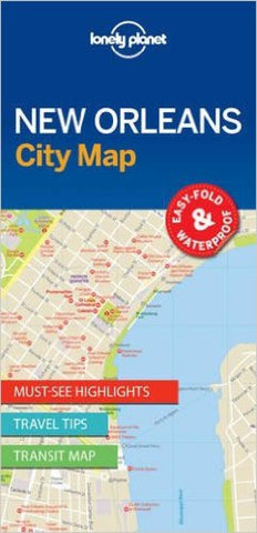
New Orleans : city map
Lonely Planet New Orleans City Map is your conveniently-sized passport to traveling with ease. Features:
Durable and waterproof
Easy-fold format and convenient size
Handy slipcase
Full color and easy-to-use
Extensive street and site index
Images and information about top city attractions
Handy transport maps
Practical travel tips and directory
Itinerary suggestions
Covers French Quarter, Faubourg Maurigny, Bywater, CBD, Warehouse District, Garden, Lower Garden, Central City, Uptown, Riverbend, Mid-City, the TremÃ
- Product Number: LP_NEW_OR_17
- Reference Product Number: 2247380M
- ISBN: 9781786575067
- Date of Publication: 6/1/2017
- Folded Size: 7.87 inches high by 3.94 inches wide
- Unfolded (flat) Size: 19.69 inches high by 24.8 inches wide
- Map format: Folded
- Map type: Trade Maps - City Maps
- Geographical region: United States
- Geographical subregion: Louisiana