Penisola Sorrentina : Costiera Amalfitana - Isola di Capri : carta turistico-stradale
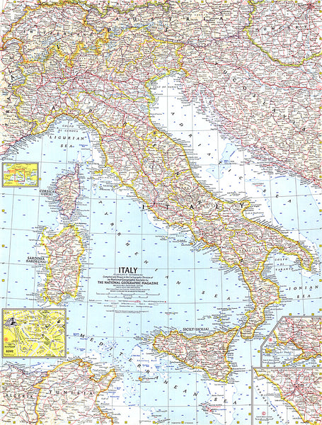
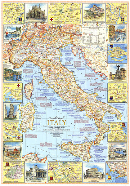
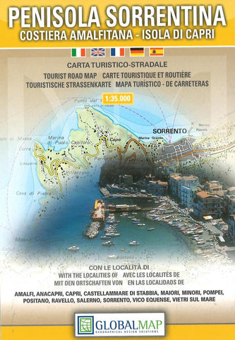
Sorrento Peninsula, including the Amalfitana coast and Capri, on a detailed contoured map from Litografia Artistica Cartografica, with 13 insets showing street plans of main holiday resorts plus the archaeological site at Pompeii.
Coverage extends from Torre Annunziata in the Bay of Naples, the ruins of Pompeii and Nocera to Salerno, with Capri as an inset. The map presents the area’s road network with small local country roads and footpaths, railway lines are shown with stations and ferry links are marked. Also shown are cable car lines, funiculars and chair lifts. Symbols highlight locations of campsites and motels, archaeological sites, viewpoints, churches, etc.
Recommended hiking paths, both in the interior of the peninsula and on Capri are highlighted. Topography is shown by contours (interval is not indicated) and relief shading with spot heights. The map has no geographical coordinates or an index. Map legend includes English.
12 insets show street plans o
- Product Number: LAC_TU_SORREN_6
- Reference Product Number: 2048500M
- ISBN: 9788879143509
- Date of Publication: 6/1/2006
- Folded Size: 6.69 inches high by 4.33 inches wide
- Unfolded (flat) Size: 43.31 inches high by 26.77 inches wide
- Map format: Folded
- Map type: Trade Maps - Tourist
- Geographical region: Italy

