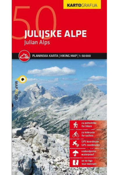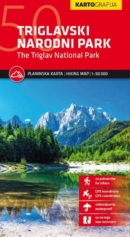
Triglav National Park Hiking Map
This map of Triglav National Park at 1:50,000 is a topographic map with hiking and cycling trails marked. The reverse side has descriptions of the areas best sights. Coverage extends from Bovec in the west to Bled in the east, and from Kranjska Gora in the north to just short of Tolmin in the south. There are also are bilingual descriptions of the regions places of interest, including special notes on the World War I Isonzo Front, plus a list of mountain huts and campsites with contact details.
- Product Number: KRT_TRIGLAV_50_23
- Reference Product Number: - None -
- ISBN: 3830048523592
- Date of Publication: 6/1/2023
- Folded Size: 9.06 inches high by 5.12 inches wide
- Map format: Folded
- Map type: Trade Maps - Hiking
- Geographical region: Slovenia

