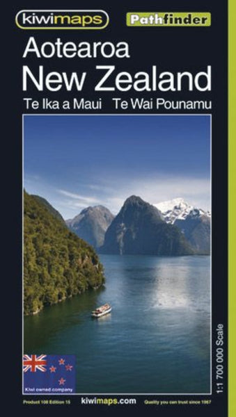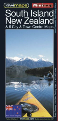
South Island NZ & 6 city & Town Centre Maps
New Zealand’s South Island at 1:1,500,000 on a handy size, indexed touring map from the country’s leading map publishers, Kiwimaps, with indexed town centre street plans for six cities, traveling times map, a distance table, etc.
The road network emphasizes state highways and indicates tourist routes such as the Southern Scenic Route, Great Alpine Highway, etc. Main railway lines and ferry lines are includes and local airports and airfields are marked.
The base map has relief shading to show the topography, with plenty of names of mountain ranges, lakes and other geographical features. National Parks and protected areas are highlighted. The index is on the reverse and in addition to towns and cities also lists costal/water features, mountains, and ski fields/parks/tracks. Also included are a distance table and a small map showing traveling times.
The map includes six panels with city centre street plans for Christchurch, Dunedin, Invercargill, Queenstown, Nelson and Pict
- Product Number: KIWI_SI_MIN_23
- Reference Product Number: - None -
- ISBN: 9415871001093
- Date of Publication: 6/1/2023
- Folded Size: 8.27 inches high by 3.94 inches wide
- Unfolded (flat) Size: 24.02 inches high by 16.93 inches wide
- Map format: Folded
- Map type: Trade Maps - Road
- Geographical region: New Zealand