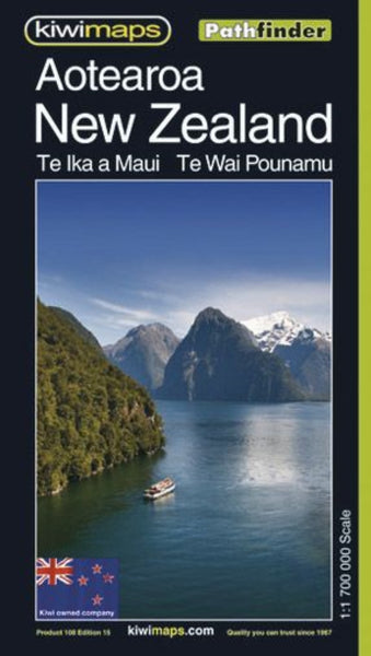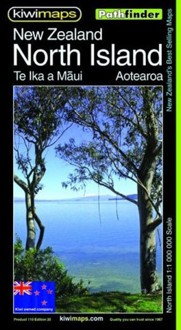
North Island NZ Pathfinder Map
Indexed touring map of the North Island from New Zealand’s leading map publishers, Kiwimaps. Topography is shown by relief shading, with names of main mountain ranges and peaks. National parks and other protected areas are marked. Road network includes unsealed local roads. Main sightseeing highways are highlighted by small icons: Pacific Coast, Thermal Explorer, Twin Coast Explorer, Surf Highway 45 and Forgotten World. The map also shows railways, ferry connections, local airports and main hiking trails.
The map has latitude and longitude margin ticks at 1º intervals. The index is on the reverse. Also included is a distance table and a small map showing traveling times. Coverage extends south to include the northern tip of the South island as far as Murchison.
- Product Number: KIWI_NI_NZ_P_21
- Reference Product Number: - None -
- ISBN: 9415871000409
- Date of Publication: 10/1/2021
- Folded Size: 8.66 inches high by 4.92 inches wide
- Unfolded (flat) Size: 34.65 inches high by 27.17 inches wide
- Map format: Folded
- Map type: Trade Maps - Road
- Geographical region: New Zealand

