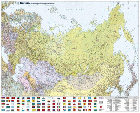
Russia/CIS 1:8 000 000 Road & Administrative map
Russia and neighbouring countries wallmap from Jana Seta covering the whole country at 1:8,000,000 with a colourful panel of flags of Russia administrative units, Moscow and St. Petersburg, plus the ex-Soviet Union countries.
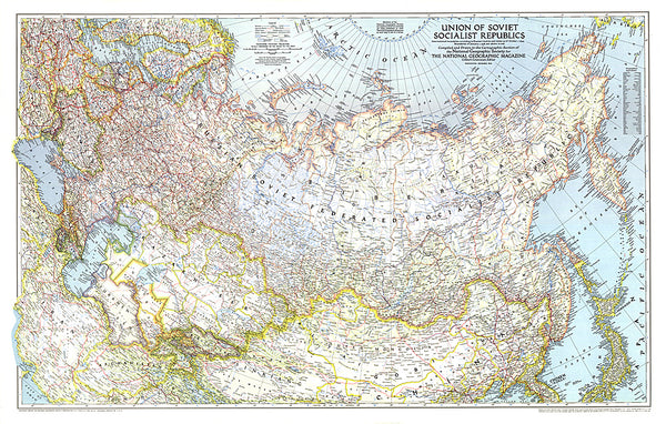
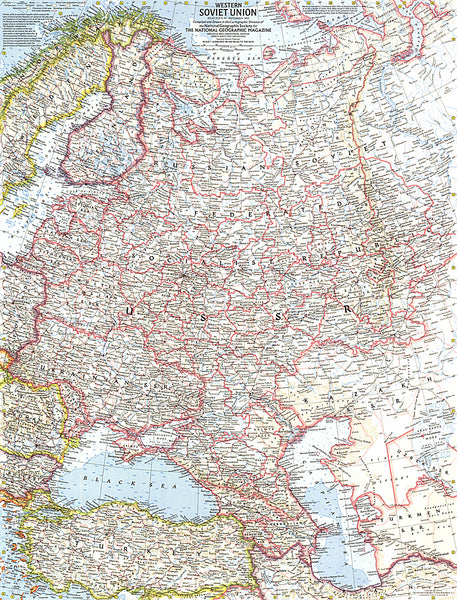
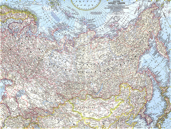
The clear map at 1:8,000,000 with its projection provides coverage from London to the Bering Straight. The map covers not only Russia but also all the ex-Soviet Union counties, the whole of Scandinavia, Poland, Mongolia, the Koreas and Japan, plus northern China with Beijing and much of Iran. The map extends to the North Pole, so covers all the Russian island groups within the Arctic Ocean as well as Svalbard/Spitsbergen. Countries are presented in different colours, with their names in English.
Within Russia the map shows internal administrative boundaries with names of administrative units: oblast’, republic, okrug or krai. A large number of towns are marked, with names given only in Latin alphabet. The map shows principal road and rail connections, including
- Product Number: JAN_RUS_WA_16
- Reference Product Number: - None -
- ISBN: 9789984076256
- Date of Publication: 6/1/2016
- Unfolded (flat) Size: 33.46 inches high by 42.52 inches wide
- Map format: Wall
- Map type: Trade Maps - Political
- Geographical region: Russia