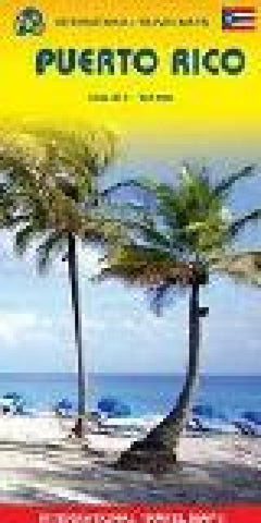
US Virgin Islands & Puerto Rico Travel Map
physical relief/road map with altitude tinting and spot heights to show elevation. The road network is shown, including roads, tracks, railroads and ferry routes. Points of interest such as national parks, protected areas, urban areas and military reserves are shown. Symbols are used to denote tourist information offices, points of interest, hospitals, public beaches, golf courses and snorkelling areas. Small inset maps are included for San Juan, Viejo San Juan Mayaguez, Arecibo, Aguadilla and Ponce. The map has a 7.5 latitude-longitude grid.
- Product Number: ITM_USVI_PR_20
- Reference Product Number: 2291753M
- ISBN: 9781771296236
- Date of Publication: 6/1/2020
- Folded Size: 9.5 inches high by 4 inches wide
- Unfolded (flat) Size: 27 inches high by 39 inches wide
- Map format: Folded
- Map type: Trade Maps - Travel
- Geographical region: Puerto Rico,Virgin Islands, United States

