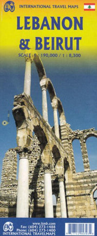
Lebanon & Beirut : scale 1:8,300 / 1:190,000
A general road and physical map that uses altitude tinting and spot heights to show elevation, while the road network shows main roads, railroads, and some secondary roads. Symbols indicate tourist services and points of interest, such as mosques, historic sites, beaches, museums, airports, and more. The main map has a 15 latitude/longitude grid. The reverse side has a large map of Beirut, the most current map that is available.
- Product Number: ITM_LEB_19
- Reference Product Number: 2339325M
- ISBN: 9781771294393
- Date of Publication: 6/1/2019
- Folded Size: 9.45 inches high by 3.94 inches wide
- Unfolded (flat) Size: 27.17 inches high by 39.37 inches wide
- Map format: Folded
- Map type: Trade Maps - Travel
- Geographical region: Lebanon

