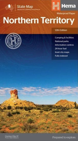
Northern Territory State Map
A touring map of the Northern Territory that features 24-hour fuel, camping areas and rest areas. Marked on the map are highways, major roads and minor roads, national parks and Aboriginal land and various points of interest. The map is fully indexed, and includes a handy list of accredited visitor information centres.
- Product Number: HEMA_NT_19
- Reference Product Number: - None -
- ISBN: 9321438001508
- Date of Publication: 6/1/2019
- Folded Size: 9.84 inches high by 5.51 inches wide
- Unfolded (flat) Size: 27.56 inches high by 39.37 inches wide
- Map format: Folded
- Map type: Trade Maps - Road
- Geographical region: Australia
- Geographical subregion: Northern Territory

