New South Wales State Map
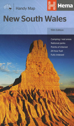
A fully indexed state map of New South Wales at a scale of 1:1,400,000. Marked on the map are national parks, camping areas, caravan parks, rest areas, points of interest and 24-hour fuel accompanied by a distance grid.
- Product Number: HEMA_NSW_H_18
- Reference Product Number: 2304517M
- ISBN: 9781925625608
- Date of Publication: 6/1/2018
- Folded Size: 9.84 inches high by 5.12 inches wide
- Unfolded (flat) Size: 19.69 inches high by 34.25 inches wide
- Map format: Folded
- Map type: Trade Maps - Road
- Geographical region: Australia
- Geographical subregion: New South Wales

