New South Wales, Australia
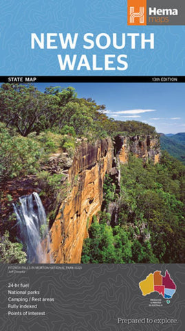
A state map of New South Wales at a scale of 1:1,500,000. Marked on the map are national parks, points of interest, 24-hour fuel in addition to camping and rest areas. On the reverse side are CBD maps of Sydney and Canberra, as well as a Sydney regional map, a Sydney throughroads map, and maps of Blue Mountains National Park and the region between Katoomba and Wentworth Falls. There is a full index included, as well as all national park information.
Points of interest
24-hour fuel
National parks
Camping areas
Rest areas
Fully indexed
- Product Number: HEMA_NSW_18
- Reference Product Number: - None -
- ISBN: 9781925625615
- Date of Publication: 6/1/2018
- Folded Size: 9.84 inches high by 5.51 inches wide
- Unfolded (flat) Size: 39.37 inches high by 27.56 inches wide
- Map format: Folded
- Map type: Trade Maps - Road
- Geographical region: Australia
- Geographical subregion: New South Wales

