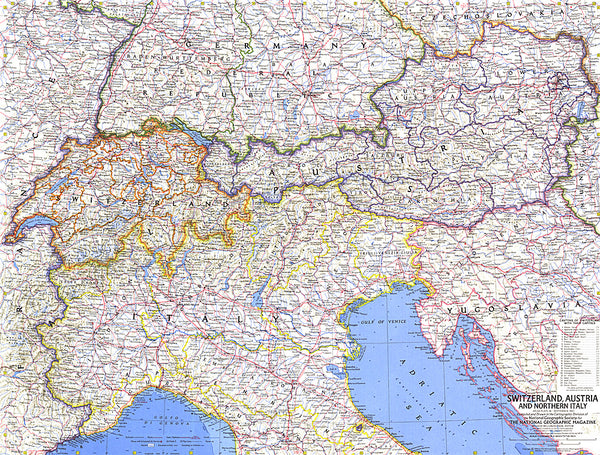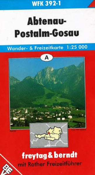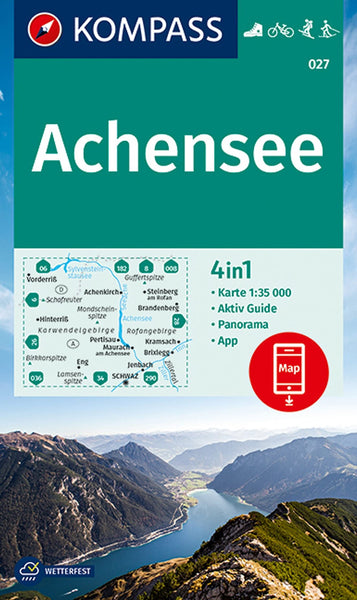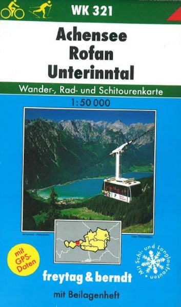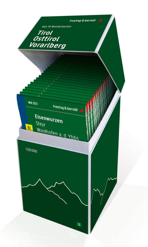
Tyrol - East Tyrol - Vorarlberg, hiking map set 1:50,000
This unique hiking map box contains a set with all 22 hiking maps for Tyrol, East Tyrol and Vorarlberg on a scale of 1: 50,000! It is ideal for frequent hikers who want to explore nature on their tours! Freytag & Berndt hiking maps are ideal companions in hiking, mountaineering, cycling and ski tours thanks to the detailed digital cartography and the exact standards. They are also suitable for GPS. Contents: WK 120 Großglockner WK 121 Grand Venice WK 123 Matrei WK 151 Zillertal WK 152 Mayrhofen WK 182 Lienzer Dolomites WK 223 Karnische Alpen WK 241 Innsbruck WK 254 Landeck WK 301 Kufstein WK 322 Wetterstein WK 351 Lechtar WK 352 Ehrwald WK 364 Bregenzerwald WK 374 Montafon WK 375 Große Walsertal
- Product Number: FB_WK_BOX_5_20
- Reference Product Number: - None -
- ISBN: 9783707919059
- Date of Publication: 5/7/2018
- Folded Size: 8.45 inches high by 4.72 inches wide
- Unfolded (flat) Size: 8.45 inches high by 4.72 inches wide
- Map format: Folded
- Map type: Trade Maps - Hiking
- Geographical region: Austria

