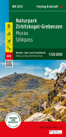
Zirbitzkogel-Grebenzen, hiking, bike and leisure map 1:50,000 WK 0211
The hiking map Zirbitzkogel -Grebenzen - Murau - Sölkpass, 1: 50,000 is regularly revised and contains updated information about hiking trails, bike and mountain bike routes, huts, natural monuments, cultural sights and leisure facilities. The enclosed information booklet contains a selection of the best hiking trails, bike paths and mountain bike routes as well as a brief description of the individual communities with their leisure activities. (Language: German) leisure information, hiking and long-distance hiking trails, mountain bike and bike tours, local register with postcodes, GPS-suitable, via ferrata, referee, cross-country route, cross-country route, Nordic walking route, double-sided. Region: Murau, Wölzer Tal, Wölzer Tauern, Lachtal, Metnitztal, Metnitzer mountains; Special hiking theme paths: Styrian state tour hiking trail, via Natura Reading garden, Hemmapilgerweg, Mariazeller founder path, from the glacier to wine, guided object woodenwat tours, Gragger gorge, Friesacher
- Product Number: FB_WK_50_211_23
- Reference Product Number: - None -
- ISBN: 9783707920536
- Date of Publication: 3/30/2023
- Folded Size: 8.06 inches high by 3.93 inches wide
- Unfolded (flat) Size: 8.06 inches high by 3.93 inches wide
- Map format: Folded
- Map type: Trade Maps - Hiking
- Geographical region: Austria

