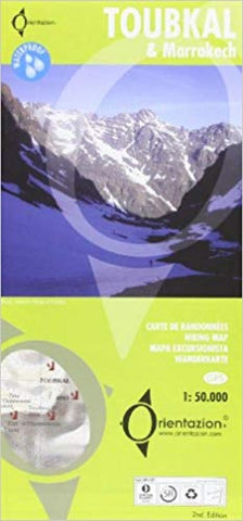
Toubkal & Marrakech : carte de randonnées : 1: 50.000 = Toubkal & Marrakech : hiking map : 1: 50.000 = Toubkal & Marrakech : mapa excursionista : 1: 50.000 = Toubkal & Marrakech : wanderkarte : 1: 50.000
A detailed, accurate and up-to-date trekking map of Jebel Toubkal in the High Atlas mountains of Morocco, the highest peak in North Africa and popular trekking destination. A street plan of Marrakech is on the reverse.
1:50,000 topographic map detail includes contours at 20m intervals, hill-shading, woodland and scrub areas, springs, creeks, rivers and dry riverbeds. Road detail includes tracks and footpaths, and funicular railways and ski-lifts are also indicated. Isolated buildings are marked and symbols show ski-stations, refuges and religious buildings. A 1km UTM grid is drawn over the map and margin ticks are at 1 intervals.
On the reverse is a clear plan of Marrakech at approximately 1:8,700. It covers the Medina district and extends westwards to the main railway terminus. Colours highlight main sites of interest, public buildings, shopping areas/markets and pedestrian zones. One-way streets are marked and symbols show a range of useful features e.g. hotels, taxi r
- Product Number: FB_TOUB_18
- Reference Product Number: 2290219M
- ISBN: 9788493560003
- Date of Publication: 6/1/2018
- Folded Size: 9.45 inches high by 4.53 inches wide
- Unfolded (flat) Size: 26.77 inches high by 18.9 inches wide
- Map format: Folded
- Map type: Trade Maps - Travel
- Geographical region: Morocco