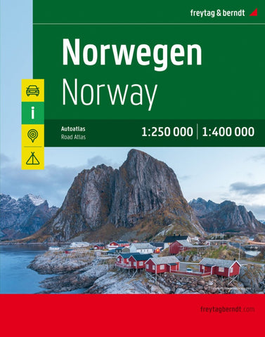
Norway, road atlas 1:250,000 - 1:400,000
Norway at 1:400,000 on a glovebox size, spiral-bound road atlas from Freytag & Berndt, with street plans of the country’s six main cities, plus a touring atlas of Europe at 1:3,500,000 for route planning. Cartography is similar to the publishers’ series of regional road maps of Norway, but presents the whole country at the same scale of 1:400,000.
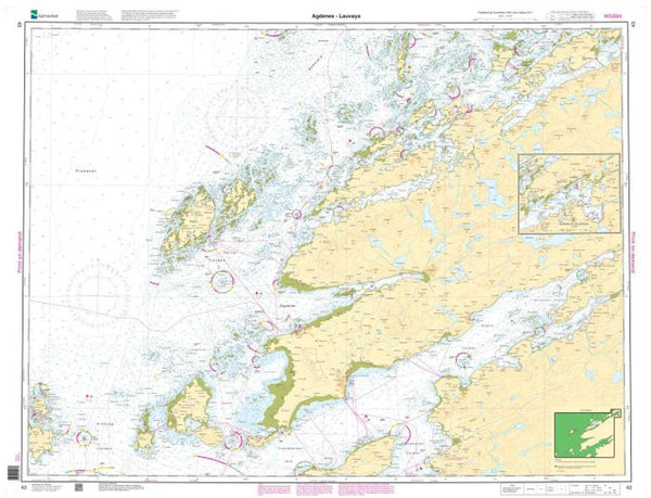
Topography is indicated by unobtrusive relief shading and numerous spot heights, with colouring for forested areas. National parks are highlighted. Road network, graded into five types, highlights scenic routes, gives driving distances on most roads, and indicates motorway services. Railway lines and ferry connections are included and local airports are marked. Symbols indicate various places of interest, including campsites. The maps have no geographical coordinates. Map legend includes English.
Also provided are street plans of central Oslo, Bergen, Hammerfest, Narvik, Stavanger and Trondheim, highlighting important buil
- Product Number: FB_NOR_SUP_AT_19
- Reference Product Number: - None -
- ISBN: 9783707917444
- Date of Publication: 2/3/2010
- Folded Size: 11.67 inches high by 9.04 inches wide
- Unfolded (flat) Size: 11.67 inches high by 9.04 inches wide
- Map format: - None -
- Map type: Atlases - Popular/Travel
- Geographical region: Norway