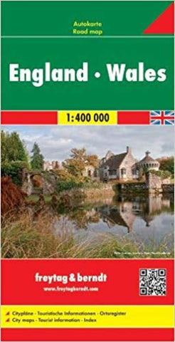
England : Wales : 1:400,000
Explore England and Wales with this double-sided Freytag & Berndt road map. Topography is depicted using colour shading. The map features maps on both sides, as well an inset of the Channel Islands.
Icons and markings are used to show tourist information and sites of interest. These include:
Motorways, carriageways, toll roads and railway lines
Car ferry routes and airports
Places of interest such as wildlife parks, reserves, camping sites
Distances between points are shown in kilometres. Also included is a booklet. Within this booklet you will find localities listed, along with their postcodes. There is also city plans for London.
- Product Number: FB_ENG_WALES_20
- Reference Product Number: - None -
- ISBN: 9783707905861
- Date of Publication: 6/1/2020
- Folded Size: 9.84 inches high by 5.12 inches wide
- Unfolded (flat) Size: 37.01 inches high by 49.61 inches wide
- Map format: Folded
- Map type: Trade Maps - Travel
- Geographical region: United Kingdom
- Geographical subregion: England,Wales


