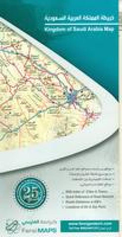
Kingdom of Saudi Arabia Map
The publsher has stopped making maps, so our current stock is all that is available.
A folded map of Saudi Arabia containing a list of names and locations of cities and towns, the latest Road Network with a number assigned to each and distances between intersections in kilometers. It also includes a list of shortest roads linking the Kingdoms main cities. The back of the map contains inset maps of the major cities & towns all over the Kingdom. The map is bilingual, Arabic and English. Map size is 100 x 70 cm when open.
- Product Number: FAR_SAU_ARABIA_10
- Reference Product Number: 2298504M
- ISBN: - None -
- Date of Publication: 6/1/2010
- Folded Size: 9.45 inches high by 4.72 inches wide
- Unfolded (flat) Size: 38.58 inches high by 26.77 inches wide
- Map format: Folded
- Map type: Trade Maps - Road
- Geographical region: Saudi Arabia


