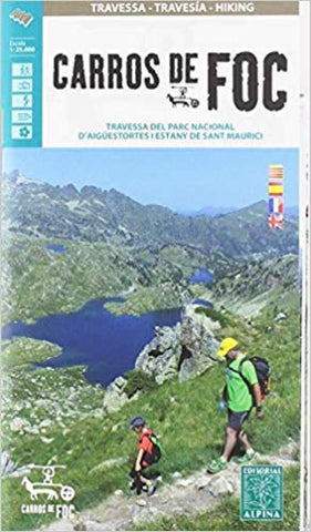
Carros de Foc Hiking Map
Carros de Foc (Chariots of Fire) Hiking Circuit, a five to seven day long hiking route in the Aigüestortes i Estany de Sant Maurici National Park, shown on a 1:25,000 map from Editorial Alpina. The map, from the publishers of an extensive hiking series for the Spanish Pyrenees, has contours at 20m intervals, relief shading, and vegetation colouring. The route, which includes sections of the GR-11 long distance path, is clearly highlighted on the map, along with refuges, as well as campsites and other accommodation facilities near in the nearby villages. The map has a 1km UTM grid and margin ticks at 1’ intervals. Map legend includes English.
The accompanying booklet includes a 16-page section in English, providing brief descriptions of the route, plus contact addresses of the refuges.
- Product Number: EAL_FOC_22
- Reference Product Number: - None -
- ISBN: 9788480908641
- Date of Publication: 4/1/2022
- Folded Size: 8.27 inches high by 4.72 inches wide
- Unfolded (flat) Size: 33.86 inches high by 26.77 inches wide
- Map format: Folded
- Map type: Trade Maps - Hiking
- Geographical region: Spain

