Great Britain : Ireland
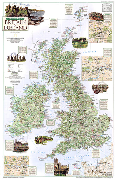
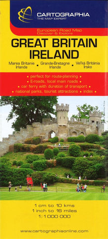
Detailed road map of Great Britain and Ireland - perfect for route-planning. Includes ferry routes, distances in kilometers, and points of interest. Index on reverse.
Inset maps of the Shetland Islands, Orkney Islands, and Channel Islands.
- Product Number: C_GB_12
- Reference Product Number: 2061578M
- ISBN: 9789633529836
- Date of Publication: 6/1/2012
- Folded Size: 9.84 inches high by 4.33 inches wide
- Unfolded (flat) Size: 25.98 inches high by 38.58 inches wide
- Map format: Folded
- Map type: Trade Maps - Road
- Geographical region: Ireland,United Kingdom
- Geographical subregion: England,Northern Ireland,Scotland,Wales

