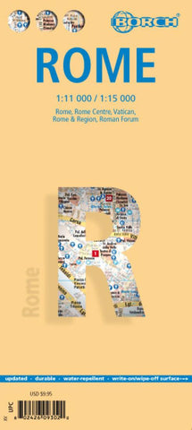
Rome, Italy City Map
Laminated and waterproof map for visitors to Rome from Borch, combining a street plan of the city with enlargements for the central part, the Vatican, the Foro Romano - Coliseum area, and a map of the environs. The main plan at 1:15,000 extends from Foro Italico and the Olympic Village to EUR complex and Palazzo dello Sport, and west-east from the Vatican to the Campo Verano cemetery. The plan shows the metro network, one way streets, numerous churches and historical sights, etc.
An enlargement at 1:11,000 shows the central part of the city, from the Vatican to the Roma-Termini station and from Piazza del Popolo to the Coliseum in greater detail. Further enlargements present the Vatican at 1:7,000, plus the archeological remains of the Foro Romano, also at 1:7,000, annotated with brief descriptions of main sites. A road map of the city’s environs at 1:250,000 shows access to the surrounding countryside, including the coast, Castel Gandolfo and Colli Albani. The plans and the roa
- Product Number: BOR_ROME_20
- Reference Product Number: - None -
- ISBN: 9783866093027
- Date of Publication: 6/1/2020
- Folded Size: 9.45 inches high by 4.33 inches wide
- Unfolded (flat) Size: 19.29 inches high by 38.98 inches wide
- Map format: Folded
- Map type: Trade Maps - City Maps
- Geographical region: Italy,Vatican City (Holy See)

