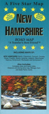
New Hampshire, Road Map by Five Star Maps, Inc.
Road Map of New Hampshire state.
Including Maps of: Berlin, Claremont, Concord, Conway, Dover, Franklin, Keene, Laconia, Lebanon, Manchester, Nashua, Portsmouth, Rochester and Somersworth.
Also includes: Complete cities and towns index, distance and driving time map, mileage chart, fall foliage routes, moose viewing routes, and state parks chart.
- Product Number: 2247800M
- Product Code: FS_NH
- ISBN: 9781592142675
- Year of Publication: 2016
- Folded Size: 9.06 x 3.94 inches
- Unfolded Size: 20.08 x 17.32 inches
- Map type: Folded Map
- Geographical region: New Hampshire


