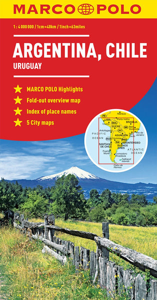
Argentina by Reise Know-How Verlag
Argentina at 1:2,000,000 on an indexed, waterproof and tear-resistant road map with topographic and tourist information, published by Reise Know-How as part of their highly acclaimed World Mapping Project. The map is double-sided to provide the best balance between a good scale and a convenient size sheet. The map divides Argentina north/south with an overlap between the sides. The north-eastern corner with the Missiones province and the Iguazu Falls is shown as an inset. Coverage of the southern half of the country includes the Chilean side of the Andes and the Magellan Straights. Altitude colouring with contours and peak heights presents topography. Swamps salt flats and glaciers are also marked. Road network includes selected local tracks and indicates driving distances on main routes. Railway lines are included and local airports are marked. National parks and other protected areas are highlighted and a range of symbols mark various places of interest including selected campsites, beaches, vineyards, etc. Latitude and longitude lines are drawn at intervals of 1°. The map has an extensive index of localities, with a separate list of national parks and protected areas. World Mapping Project is an extensive series of maps at varying scales, aiming to provide coverage of countries and regions worldwide using clear, well presented cartography with both topographic and tourist information. Printed on PolyArt paper (waterproof and tear-resistant).
- Product Number: 2243430M
- Product Code: RKH_ARG
- ISBN: 9783831773503
- Year of Publication: 2016
- Folded Size: 10.24 x 4.72 inches
- Unfolded Size: 38.98 x 27.17 inches
- Map type: Folded Map
- Geographical region: Argentina

