
Hood River, Oregon, Trail Map by Adventure Maps
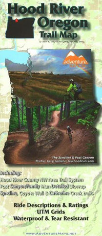
The Hood River, Oregon Adventure Map is a waterproof, topographic map (lat/long,UTM grids) that includes route descriptions for the Hood River area including Syncline, Catherine Creek & Post Canyon, Surveyors Ridge & Dog River Trails, Knebal Springs & High Prairie, Eight & Fifteen Mile Creek Trails, Gunsight Ridge/Bonnie Meadows, Lewis River/Mount St. Helens, Falls Creek, Old Man Pass & Buck Creek/Nestor Peak. It includes 24 of the best mountain bike ride suggestions for the area as well as a blowup of the Family Man area.
Hikers and Trail Runners will also find this map useful as it accurately shows all trails with mileage points, streams, lakes, roads, and landownership boundaries.
- Product Number: 2227332M
- Product Code: ADV_HOODRIVER
- ISBN: 9781933783406
- Year of Publication: 2016
- Folded Size: 9.84 x 3.94 inches
- Unfolded Size: 18.5 x 26.18 inches
- Map type: Folded Map
- Geographical region: Oregon


