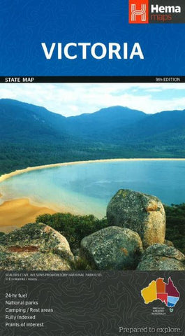
Victoria, Australia, 9th edition by Hema Maps
Great for travel planning, Hemas Victoria state map clearly shows highways, minor and secondary roads, national and state routes and fully-indexed cities, towns and localities. Detailed road distances are also shown.
The map features:
Camping areas
Rest areas
24 hour fuel locations
Outback fuel stops
Caravan parks
National parks
A full index
Points of interest
A distance grid
- Product Number: 2225467M
- Product Code: HEMA_VIC
- ISBN: 9781865009834
- Year of Publication: 2014
- Folded Size: 9.84 x 5.51 inches
- Unfolded Size: 26.57 x 38.39 inches
- Map type: Folded Map
- Geographical region: Australia

