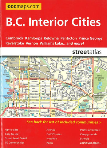
British Columbia Interior Cities Street Atlas by Canadian Cartographics Corporation
The CCC Street Atlas is up-to-date and easy-to-use. Its the definitive auto companion for travel in this area, whether you are a resident or short-term visitor. Its got all the features to make even the unfamiliar areas easy to navigate. Continuous full-colour mapping for the whole area with comprehensive street-level detail in an easy to follow grid design. Includes communities of: 100 Mile House, Armstrong, Ashcroft, Barriere, Cache Creek, Castlegar, Chase, Coldstream, Cranbrook, Dawson Creek, Enderby, Fairmont Hot Springs, Fernie, Fort St. John, Golden, Invermere, Kamloops, Kelowna, Keremeos, Kimberley, Kitimat, Lake Country, Logan Lake, Marysville, Merritt, Naramata, Nelson, Okanagan Falls, Oliver, Osoyoos, Oyama, Peachland, Penticton, Prince George, Prince Rupert, Quesnel, Radium Hot Springs, Revelstoke, Rossland, Salmon Arm, Sicamous, Smithers, Summerland, Terrace, Trail, Vernon, Warfield, West Kelowna, Williams Lake and Winfield. Features: Arenas, Golf Courses, Parks, Points of Interest, Hospitals, Schools, Skiing and much, much more.
- Product Number: 2213983
- Product Code: CCC_BC_INT_AT
- ISBN: 9781553686491
- Year of Publication: 2011
- Unfolded Size: 9.06 x 6.69 inches
- Map type: Atlas
- Geographical region: British Columbia