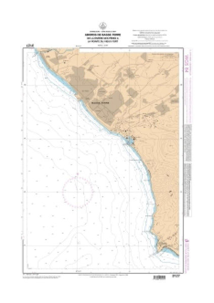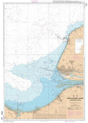
Abords du Havre et dAntifer - Embouchure de la Seine de Ouistreham au Cap dAntifer by SHOM
East View Map Link (EVML), a certified SHOM print on demand provider; SHOM provides mariners with up-to-date Service Hydrographique et Oceanographique de la Marine (SHOM) approved nautical charts. Our Abords du Havre et dAntifer - Embouchure de la Seine de Ouistreham au Cap dAntifer nautical chart (Map Index 7418) is printed using high resolution, heavyweight and acid free paper. All charts are printed with the latest Notice to Mariners (NTMs), and meet U. S. and international carriage requirements for commercial vessels defined in SOLAS Chapter V Regulation 19.2.1.772. Waterproof options are also available. All SHOM nautical charts ship rolled, and are printed by East View Map Link, LLC.
- Product Number: 2187890M
- Product Code: SHOM_7418
- Year of Publication: 2007
- Map type: Flat Map
- Geographical region: France