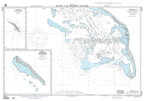
Plans in the Gilbert Islands N (NGA_83044) by National Geospatial-Intelligence Agency
East View Map Link (EVML), a certified NGA and NOAA print on demand printer; provides mariners with historical National Geospatial-Intelligence Agency POD approved nautical charts. Our NGA nautical chart (Map Index 83044) is printed using high resolution, heavyweight and acid free paper. All NGA nautical charts ship rolled, and are printed by East View Map Link, LLC.
- Product Number: 2187496M
- Product Code: NGA_83044
- Map type: Flat Map
- Geographical region: Miscellaneous