
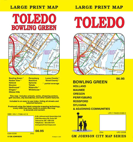
Toledo and Bowling Green, Ohio, large print by GM Johnson
Folded street map of Toledo and Bowling Green, OH. Main map covers Toledo from Lucas County to Rossford, Wood County to Elden Heights. Reverse contains index and maps of Toledo to Lake Erie and Bowling Green.
- Product Number: 2185724M
- Product Code: GMJ_TOLEDO_BG
- ISBN: 9781770684478
- Year of Publication: 2015
- Folded Size: 9.06 x 4.33 inches
- Unfolded Size: 38.58 x 26.38 inches
- Map type: Folded Map
- Geographical region: Ohio


