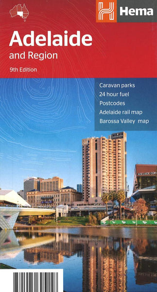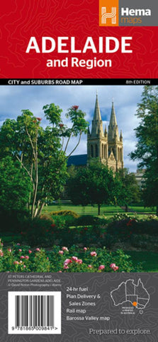
Adelaide, Australia, Regional by Hema Maps
A map of Greater Adelaide (1:80,000) that features highways, major roads, local streets and suburbs in addition to 24-hour fuel, parks and caravan parks marked on the mapping. On the reverse is an Adelaide City map that has accommodation, shopping, theatres, places of interest and more highlighted, accompanied by an Adelaide CBD street index. Also included is an Adelaide Region map, an Adelaide Rail Network map and a Barossa Valley map.
- Product Number: 2171631M
- Product Code: HEMA_ADEL_REG
- ISBN: 9781865009841
- Year of Publication: 2014
- Folded Size: 4.53 x 9.84 inches
- Unfolded Size: 26.57 x 38.58 inches
- Map type: Folded Map
- Geographical region: Australia

