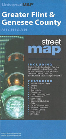
Flint and Genesee County, Michigan by Kappa Map Group
The Greater Flint and Genesee County, Michigan Street Map by Universal Map provides extensive coverage and features an address numbering system, enlarged downtown, and details of Flint. Shows Burton, Clio, Davison, Fenton, Flushing, Gaines, Goodrich, Grand Blanc, Holly, Lennon, Linden, Montrose, Mt. Morris, Ortonville, Otisville, Otter Lake, and Swartz Creek. Includes color-coded travel routes, boundaries, railroads, airports, and ZIP codes/boundaries. Identifies parks, golf courses, cemeteries, industrial parks, hospitals, government buildings, fire/police stations, libraries, post offices, shopping centers, and points of interest.
- Product Number: 2154840M
- Product Code: KMG_FLINT_GR
- ISBN: 9780762564545
- Year of Publication: 2008
- Folded Size: 9.06 x 3.94 inches
- Unfolded Size: 27.95 x 37.8 inches
- Map type: Folded Map
- Geographical region: Michigan


