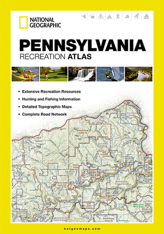

Pennsylvania Recreational Atlas by National Geographic Maps
National Geographics recreation atlas for Pennsylvania is the ideal resource for any recreation activity from hunting and fishing to camping, boating, golf, hiking, and more.
This easy-to-use atlas contains accurate topographic maps, plus detailed roads, recreation guides, hunting and fishing information and a detailed index. These atlases are the new must-have for every seat-back pocket, saddle-bag, boat, and RV.
On each map page you will find a convenient map legend, easy-to-read page numbers, latitude and longitude grid for use with GPS, bold public land boundaries, and fact checked points-of-interest. All road types are clearly identified, making this an ideal planning tool for motorcycle and off-road adventures.
Detailed Feature List:
Detailed Topographic Maps
Detailed road network
Recreation and tourism points of interest
Contours and shaded relief
Clearly labeled rivers, lakes and streams
Recreation Guides and Maps
Detailed Campground information
State Park map and directory
Hiking, golfing, skiing, and paddling destinations
Climate information
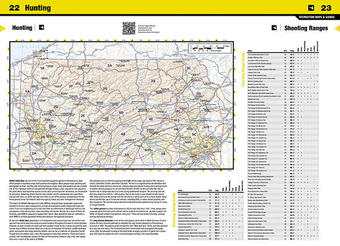
Hunting and Fishing Information
Species zones and management units
Premier lakes map and guide
- Product Number: 2127748
- Product Code: NG_PA_AT
- Publisher Product ID: ST01020731
- ISBN: 9781597755559
- Year of Publication: 2013
- Map type: Atlas
- Geographical region: Pennsylvania