


Jasper, North, Map 903 by National Geographic Maps
Click to Zoom (high resolution)
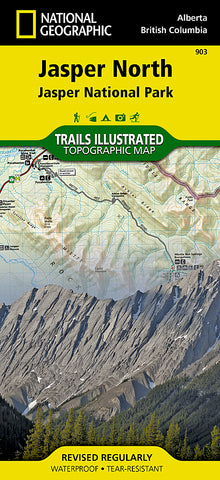
The front side of Jasper North map details the east side of the national park, from Rock Lake Solomon Creek Wildland Park to the north, to Whistlers Summit to the south. The reverse side of the map details the west side of the park, extending from Mt. Terry Fox Provincial Park to the south, to Willmore Wilderness Park to the North. Insets show survival tips, safe travel in Bear Country, and what to do while visiting. A necessity for exploring in the outdoors, this map is printed on waterproof, tear-resistant material.
- Product Number: 2060106M
- Product Code: TI_JASPER_N
- Publisher Product ID: TI00000903
- ISBN: 9781566956611
- Year of Publication: 2014
- Folded Size: 9.45 x 4.33 inches
- Unfolded Size: 24.8 x 37.01 inches
- Map type: Folded Map
- Geographical region: Alberta


