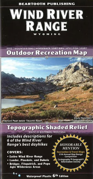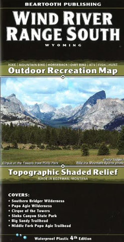
Wind River Range, South, Wyoming by Beartooth Publishing
Outdoor recreation map, topographic shaded relief printed on waterproof plastic paper. Ranges from Lander to the Fire Hole Lakes area. The detail shows every little lake, creek, and wetland. Covers Southern Bridger Wilderness, Popo Agie Wilderness, Cirque of the Towers, Sinks Canyon State Park, Big Sandy Trailhead, Middle Fork Popo Agie Trailhead
- Product Number: 2053703M
- Product Code: BP_WIND_RIVER_S
- ISBN: 9781887460217
- Year of Publication: 2014
- Folded Size: 8.27 x 4.330 inches
- Unfolded Size: 38.58 x 24.410 inches
- Map type: Folded Map
- Geographical region: Wyoming