
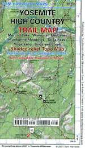
Yosemite High Country Trail Map by Tom Harrison Maps
Explore the Yosemite high country with this detailed topographic map, which gives contours, trails and other information for campers, hikers, and outdoor enthusiasts. Within this map is Merced Lake, Wawona, Ten Lakes, Tuolumne Meadows ,Tioga Pass, Vogolsang, and Bridesveil Creek. GPS-compatible with complete UTM Grid. Beautifully designed over the USGS topographic quads, enhanced with shaded relief.
- Product Number: 2047856M
- Product Code: TH_YOS_HIGH
- ISBN: 9781877689581
- Year of Publication: 2010
- Folded Size: 7.09 x 4.33 inches
- Unfolded Size: 35.43 x 24.8 inches
- Map type: Folded Map
- Geographical region: California


