
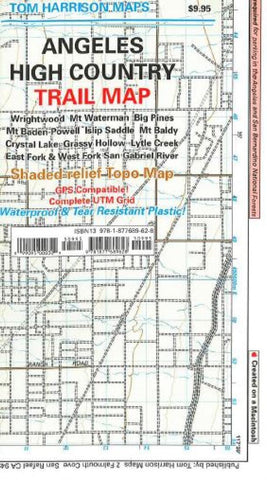
Angeles High Country Trail Map by Tom Harrison Maps
Shaded relief map, folded, printed on waterproof and tear resistant material. Scale 1:63360 (1 inch represents 1 mile) and contour interval 80 feet. The area is high up in the Angeles National Forest, North of Monrovia, San Dimas and east of San Bernardino National Forest.
- Product Number: 2047832M
- Product Code: TH_ANGELES
- ISBN: 9781877689628
- Year of Publication: 2011
- Folded Size: 7.87 x 4.33 inches
- Unfolded Size: 24.8 x 28.74 inches
- Map type: Folded Map
- Geographical region: California


