
California Map, L.A. County Dive, laminated, 2005 by Frankos Maps Ltd.
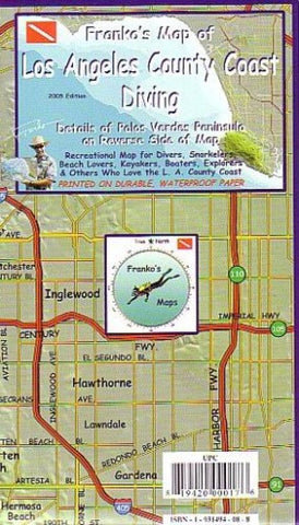
Frankos Map of Los Angeles County Coast is the original great dive map that has ever been made for the L.A. County Coast. Side 1 shows the entire coastline from the Ventura County line to the Cabrillo breakwater at the end of the Palos Verdes Peninsula, plus an inset detail of the harbor area. Another inset shows Frankos Kelp Forest Creatures to let the viewer know just what lurks out there. The Santa Monica Bay, and the undersea Redondo Canyon are shown in beautiful shades of blue to show ocean depth contours, as provided by NOAA data. Dive sites around the greater Santa Monica Bay include Leo Carillo State Beach, El Matador, Westward Beach, Point Dume, Paradise Cove, Big Rock, Redondo Breakwall, the Old Redondo Pier, and others. The hilly Palos Verdes Peninsula, shown in amazing shaded relief, juts out into the ocean. Freeways and road details help you to find your way to the coast.
Side 2 shows Frankos Map of Palos Verdes Peninsula, which looms three-dimensionally over the beautiful blue coast and ocean below. Well-know dives sites and wrecks are located and described. This is not only a great detail for divers to get around, it is also a great map for kayakers, who love PV. Favorite dive spots shown include Rat Beach, Malaga Cove, Haggertys, Flat Rock, Margate Street Wreck, Avalon Wreck, Indicator, PV Point, Dominator Wreck, Christmas Tree Cove, Point Vicente, Old Marineland, Buchanon reef, Abalone Cove, Portuguese Bend, White Point, Point Fermin, Cabrillo Beach and the L.A. Breakwater.
*Cover shows folded map. This is a flat, laminated map.*
- Product Number: 2042475M
- Product Code: FM_LOS_AN_COA_LAM
- ISBN: 9781931494335
- Year of Publication: 2005
- Unfolded Size: 13.39 x 20.47 inches
- Map type: Flat Map
- Geographical region: California


