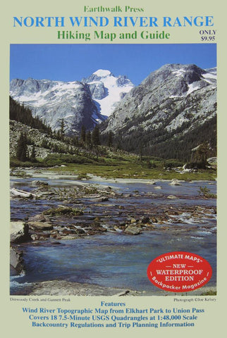
Wind River Range, Wyoming, Northern, waterproof by Earthwalk Press
Wind River Topographic Map, from Elkhart Park to Union Pass. It is the equivalent of 18 7.5-minute USGS quadrangles. Scaled to 1:48000.
Planning trips information and backcountry regulations are included.
Printed on waterproof and tear resistant material.
- Product Number: 2039839M
- Product Code: E_WIND_N
- ISBN: 9780915749201
- Year of Publication: 2013
- Folded Size: 10 x 6.5 inches
- Unfolded Size: 24.02 x 38.36 inches
- Map type: Folded Map
- Geographical region: Wyoming


