
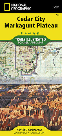


Cedar Mountain and Ashdown Gorge, Utah by National Geographic Maps
Click to Zoom (high resolution)
Waterproof, tear-resistant topographic map of Cedar and Pine Valley Mtns, Utah.
Coverage includes Dixie National Forest, Ashdown Gorge Wilderness, Cedar Breaks National Monument, Brian Head, Navajo Lake, Haycock Mountain, Panguitch Lake, Long Valley Junction and Duck Creek. Includes UTM grids for use with your GPS unit.
- Product Number: 2034634M
- Product Code: TI_UT_DIXIE
- Publisher Product ID: TI00000702
- ISBN: 9781566953061
- Year of Publication: 2000
- Folded Size: 9.45 x 4.33 inches
- Unfolded Size: 24.41 x 36.81 inches
- Map type: Folded Map
- Geographical region: Utah


