
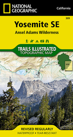


Yosemite Southeast, Ansel Adams Wilderness, Map 309 by National Geographic Maps
• Waterproof • Tear-Resistant • Topographic Map
National Geographics Trails Illustrated map of Yosemite SE delivers extensive detail and valuable information to assist you in your exploration of this breathtaking wilderness. Created in partnership with local land management agencies, this expertly researched map delivers unmatched detail and helpful information for experienced outdoor enthusiasts and casual visitors alike. Some of the key areas of interest included are Tuolomne Meadows; Garnet, Thousand Island, Tenaya and Merced lakes; Moraine Meadows; Quartz Mountain; and the Cathedral Range.
With miles of mapped trails including portions of the Pacific Crest and John Muir trails, this map can guide you off the beaten path and back again in some of the most stunning scenery in the Sierras. Trail mileage between intersections will help you choose the path thats right for you. The Sierra Vista Scenic Byway is noted for those wishing to take in the scenery by car. Recreation features are clearly marked, including campgrounds, trailheads, picnic areas, alpine ski areas, and horse stables. The map base includes contour lines and elevations for summits, passes and many lakes.
Every Trails Illustrated map is printed on Backcountry Tough waterproof, tear-resistant paper. A full UTM grid is printed on the map to aid with GPS navigation.
Other features found on this map include: Ansel Adams Wilderness, Cathedral Range, Inyo National Forest, Mount Lyell, Mount Ritter, Ritter Range, Sierra National Forest, Yosemite National Park.
- Product Number: 2034551M
- Product Code: TI_YOS_SE_309
- Publisher Product ID: TI00000309
- ISBN: 9781566954136
- Year of Publication: 2009
- Folded Size: 7.48 x 3.94 inches
- Unfolded Size: 21.26 x 30.71 inches
- Map type: Folded Map
- Geographical region: California


