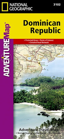
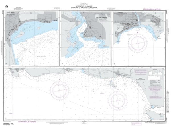
Dominican Republic Adventure Map 3102 by National Geographic Maps
Click to Zoom (high resolution)
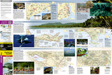
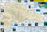
Road map of the Dominican Republic with legend, protected areas and towns index. Description of travel guide, conversion information, traveling to the Dominican Republic and points of interest with insets of photographs. On reverse, descriptive text and photographs of the capital city, the coastal shelf, the rugged interior, parks and attractions, Insets of Santo Domingo, Samana Peninsula, Del Este National Park, Pico Duarte and Lake Enriquillo.
Waterproof and tear-resistant. Main map scale = 1:450,000.
- Product Number: 2034473M
- Product Code: NG_AM_DR
- Publisher Product ID: AD00003102
- ISBN: 9781566952347
- Year of Publication: 2014
- Folded Size: 9.45 x 4.33 inches
- Unfolded Size: 24.8 x 36.61 inches
- Map type: Folded Map
- Geographical region: Dominican Republic

