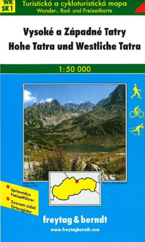
High and Western Tatra Mountains, Hiking Map, WK SK 1 by Freytag-Berndt und Artaria
Folded hiking map of the high/west Tatra Mountains in German and Slovak. WK SK 1 map with guide book. Map is printed on one side. Legend in 6 languages.
- Product Number: 2034366M
- Product Code: FB_WK_50_SK1
- ISBN: 9783850847865
- Year of Publication: 2005
- Folded Size: 8.27 x 4.72 inches
- Unfolded Size: 22.05 x 40.55 inches
- Map type: Folded Map
- Geographical region: Austria

