
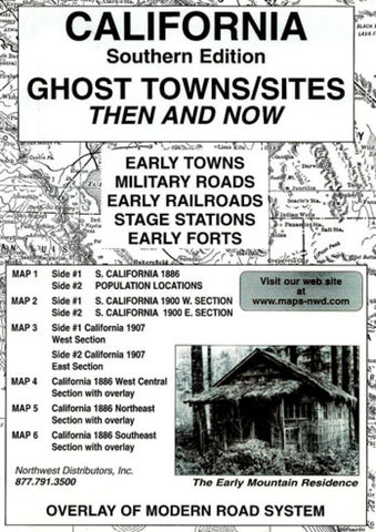
California, South, Ghost Towns, 6-Map Set, Then and Now by Northwest Distributors
The maps selected for this collection were chosen for quality, age and location details. Early railroads are clearly shown on each of the featured maps. Lines that were absent on the map of 1886 may be found on the later maps as they were developed. Early roads and trails that connected the sites are not shown. Place names originated for many reasons: a man, a tree, mines, streams, military camps, land formations, etc. Many early-named locations were changed, moved or discontinued. Some historians have a difference of opinion concerning names and their exact locations. The readers should be reminded of the handicaps the early surveyers encountered. Equipment and cartographic knowlidge were primitive. Therefore, errors occurred. Sources for the included documents are as follows: Early maps were obtained from the National Archives. The overlay was created from a U.S.G.S. planometric map with a scale of 1 to 500,000. The reported population count for the state was taken from the following. 1. Geo F. Cram Atlas 1900,2. Population History of Western U.S. Cities and Towns, 1850 to 1900 by Riley Moffat, 3. California State Library, Bureau of Censes records. Each Photograph is credited to the doner and information sources are as follows: California Place Names by Edwin G. Gudde; California Ghost Town Trails,Mickey Broman; Ghost Towns of the West, Lane Publishing and Ghost Towns of the Pacific Frontier by Lambert Florin.
- Product Number: 2033970M
- Product Code: NWD_CA_S_GHOS
- ISBN: 9780972044127
- Year of Publication: 2002
- Folded Size: 9.45 x 6.3 inches
- Unfolded Size: 16.14 x 21.26 inches
- Map type: Folded Map
- Geographical region: California


