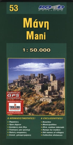
Mani, Greece by Road Editions
This road map of Mani shows contour lines at 20m intervals provided by the Hellenic Military Geographic Service, on which all the major footpaths of the region have been precisely marked by experienced Trekking Hellas and ROAD climbers.
The ROAD map of Mani features beaches with their names, administrative boundaries of the Kapodistrian Municipalities, so that you are aware which village belongs what municipality. The old name of the villages is provided, these are the names which are still in use by the locals. The locations of launching ramps for boat trailers, aggregate (total) distances in kilometers, ten best hotels and guest houses are marked with a special symbol and camping sites in the area.
The ROAD map of Mani is provided with a removable hard cover and it is GPS compatible with a grid which uses degrees of latitude and longitude.
- Product Number: 2033613M
- Product Code: RE_MANI
- ISBN: 9789608149410
- Map type: Folded Map
- Geographical region: Greece


